The key topics explored in scientific research and teaching activities include:
- Analysis and visualization of processes and phenomena occurring in geographic space using GIS.
- Selected aspects of applying artificial intelligence in cartography (development and evaluation of generative AI models, trust in generative AI).
- Assessment of methodological correctness in cartographic visualizations.
- Empirical studies on the effectiveness and usability of cartographic visualizations.
- Optimization of the cartographic generalization process using artificial intelligence (AI) and machine learning and deep learning (ML, DL).
- Maps in historical geography, including assessment and verification of methods for calibrating old maps.
- Development of digital methods and algorithms for data processing in cartography and GIS.
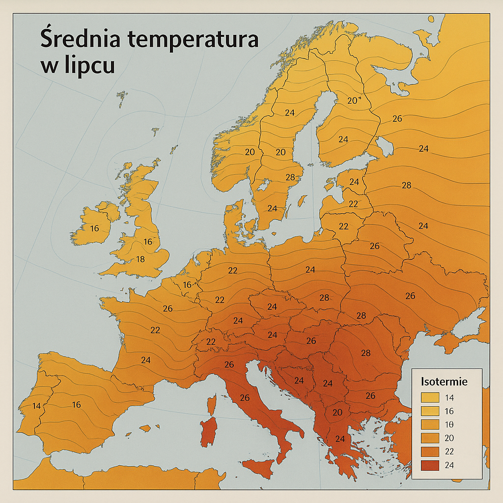
Selected aspects of applying artificial intelligence in cartography (development and evaluation of generative AI models, trust in generative AI)

Our research focuses on the critical analysis of thematic maps generated using artificial intelligence. We examine how visual and substantive imperfections affect the perception of such maps. We also analyze the factors that influence users’ trust in AI-generated cartography.
Empirical studies on the effectiveness and usability of cartographic visualizations
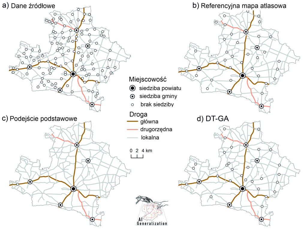
Optimization of the cartographic generalization process using artificial (AI) intelligence and machine learning and deep learning (ML, DL)

The research focuses on improving a key component of map design—cartographic generalization—with respect to settlements, road networks, and river systems, using artificial intelligence, particularly machine learning and elements of graph theory (GeneralizationAI project).
Maps in historical geography, including assessment and verification of methods for calibrating old maps

Text text text
